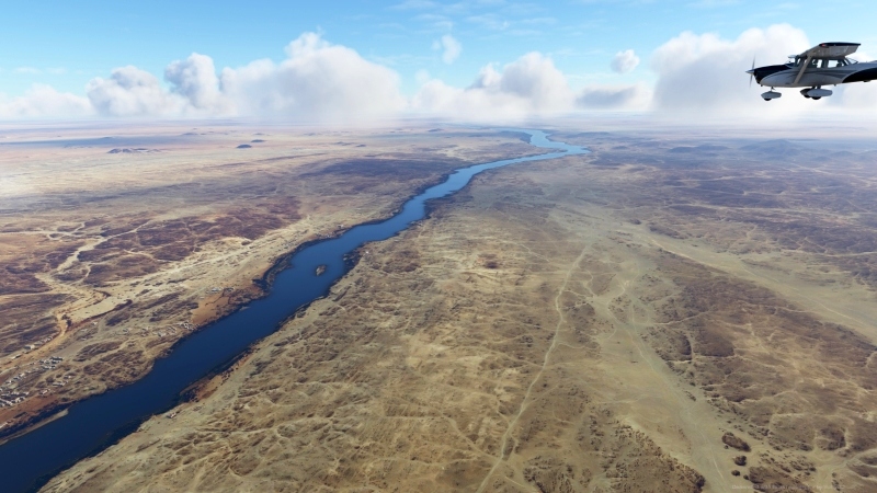
Discover the largest river on earth
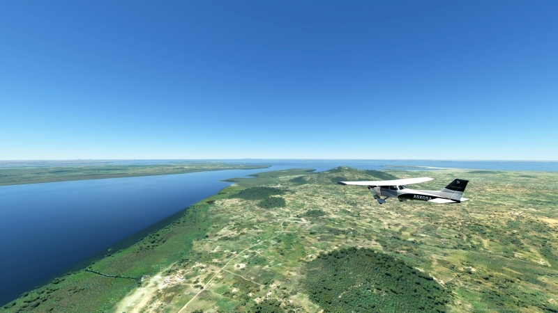
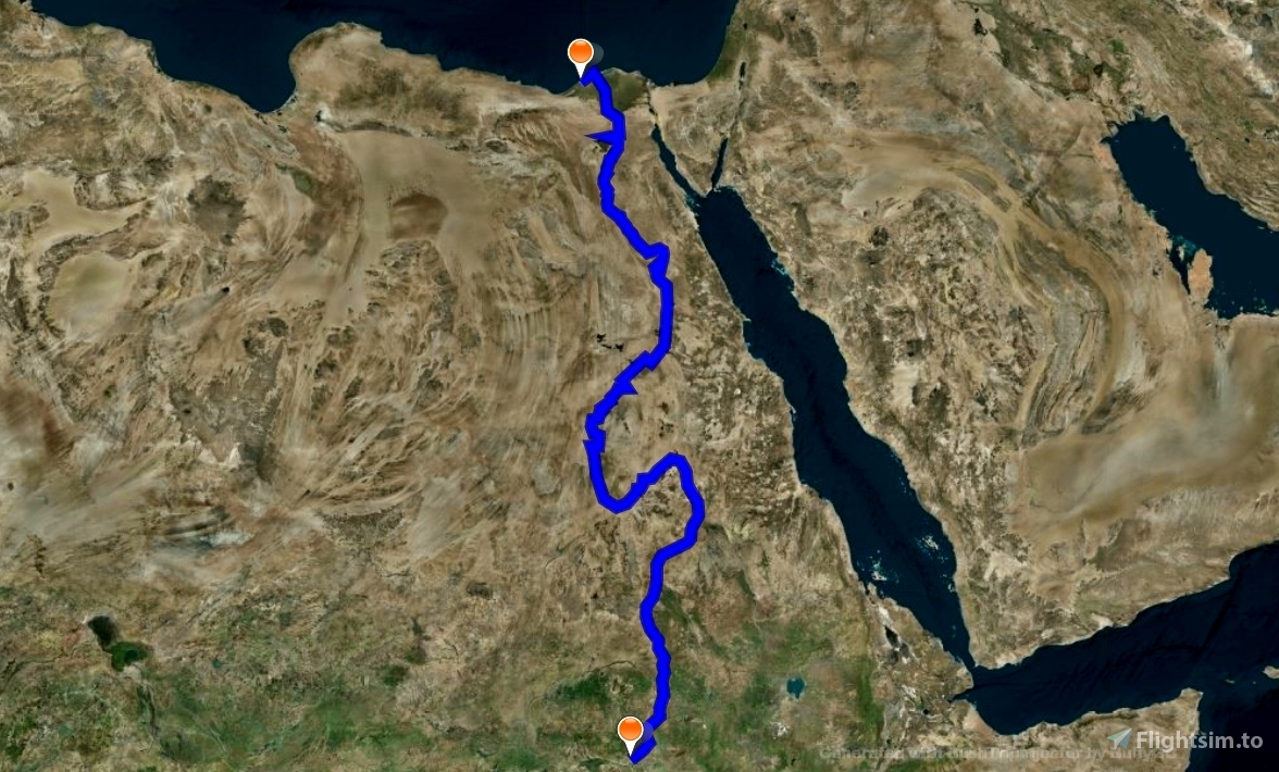
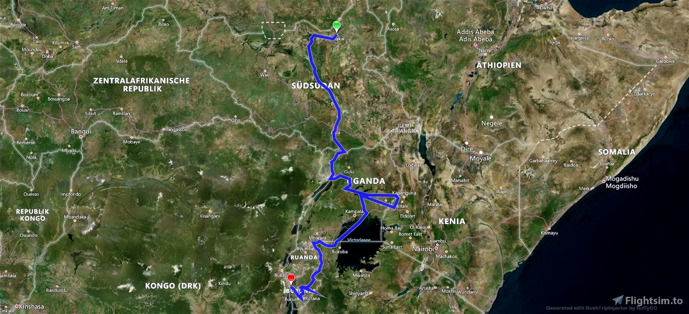
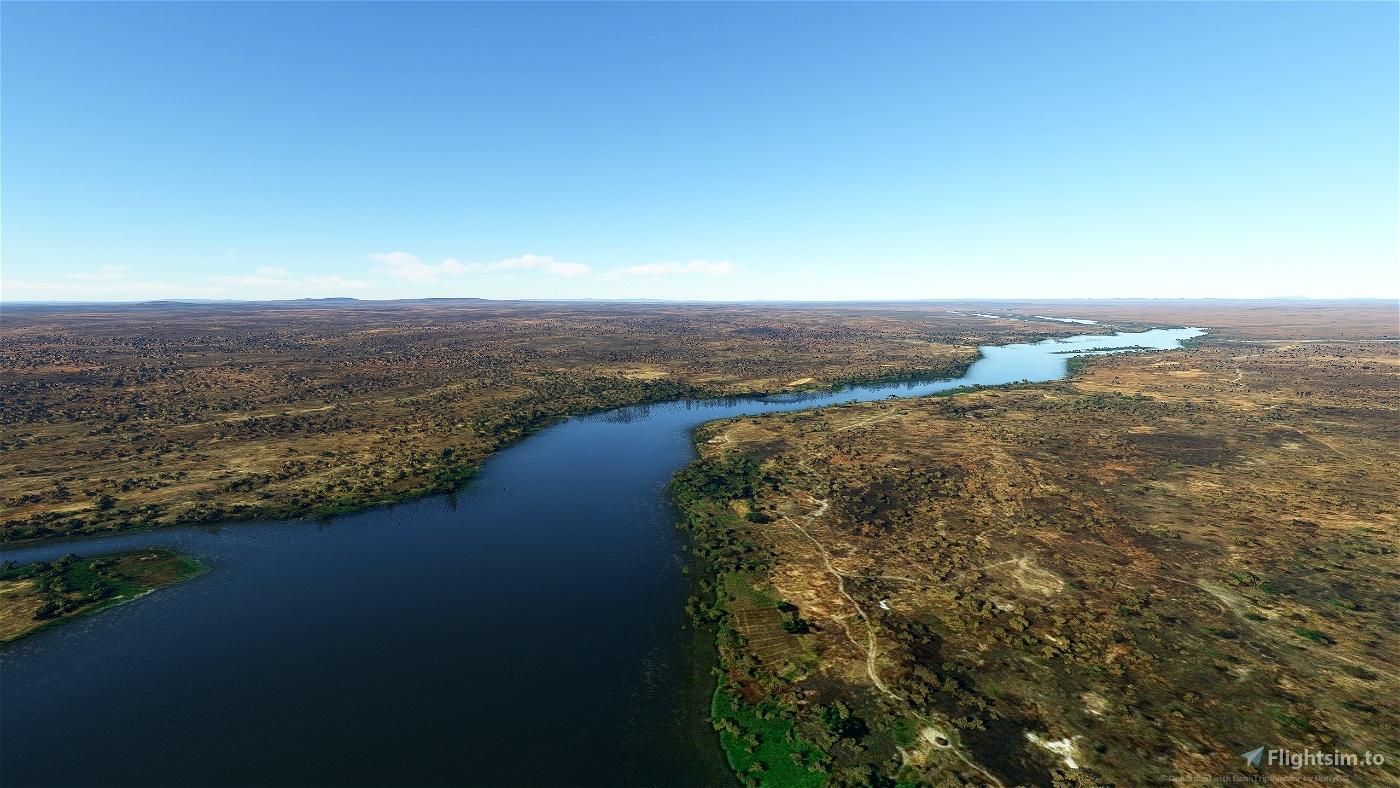
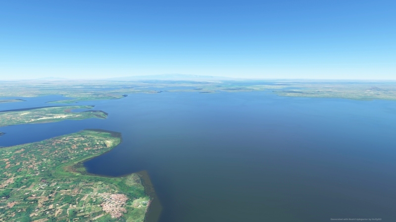
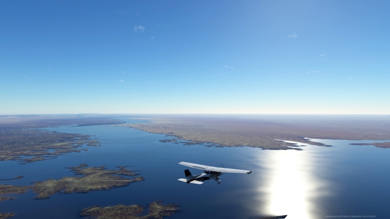
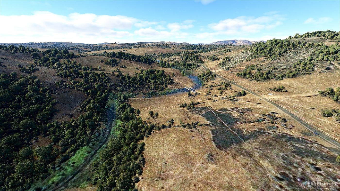
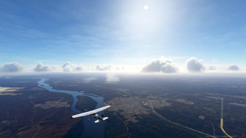
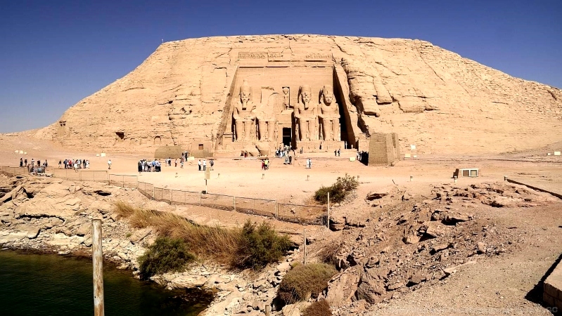
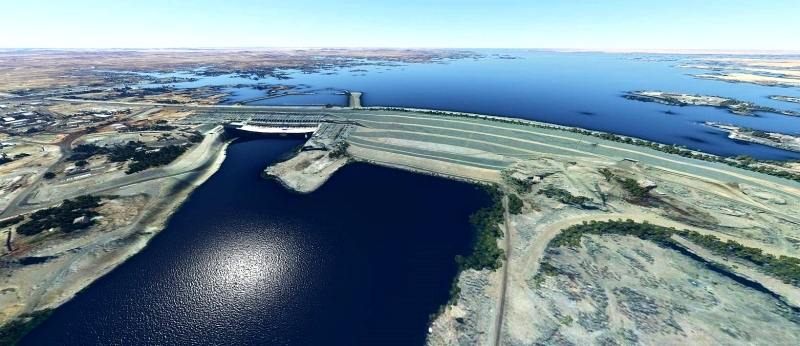
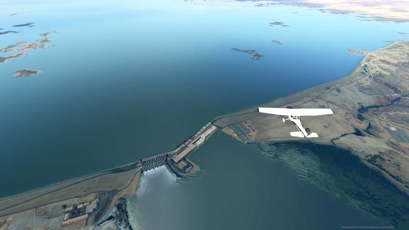
In 13 legs, each of about 250 - 450 NM, you fly from Alexandria, the so-called white Africa to deep into the black Africa - across unique, beautiful landscapes, to the source and origin of the Nile. The package contains 2 parts. The first part takes you from Egypt, past the pyramids, the ancient pharaonic city of Luxor and the mighty Aswan Dam over 1,900 NM, to Sudan. The second part takes you from Sudan, past the volcano Elgon, across Lake Victoria, over 1,600 NM, to the mountains of Burundi. If you prefer to fly only the route, you will find in the package also the routing as LNMPLN file, for Little Navmap.
Installation:
Unzip the two folders from the package to the community folder and the LNMPLN files to the designated location.
Specification:
- You are flying in a Cessna Skyhawk G1000. The aircraft is interchangeable with some manual work, see exchange file. Alternatively, there is also the MissionChanger from BuffyGC.
- The package is multilingual in the languages: English US, Spanish, French, Italian, Polish, Portuguese BR, Portuguese, Russian, Dutch, Finnish, Norwegian and Swedish. The basic language is German. The other languages are machine translated, so there may be errors in the translation. If you have a better translation, please send it to me.
- At each waypoint there are instructions in English from the artificial voice output when you skim the corresponding waypoint. All instructions can be read in the Navlog.
- Use the GPS and ATC.
- A GPS course is available that can be obtained. (see "Frequently Asked")
In addition, each waypoint is provided with a clearly visible marker. This can be switched off in the support options / navigation aids. - The refuel button is only active on airfields with a fuel station. If the gasoline is not enough, you can stop at an airport to refuel.
- Weather is freely selectable. Live weather is preset.
- The trip is only finished when engine and electrics are switched off and the handbrake is applied. To do this, roll into a parking lot.
- A LNMPLN file for Little Navmap is included in the package. There you can also find the texts for the waypoints in German language. Click on a waypoint in the flight plan table and press the Enter key. With a translation program you can translate the texts into your language.
I wish you a lot of fun with the flights and always safe landings,
Koschi
Recommended AddOns:
Abu Simbel Temple (Egypt) by Sergio Del Rosso
Merowe HSMN (Airport & Lights Enhancement) by EDDB2020
Khartoum HSSS (Airport & Lights Enhancement) by EDDB2020
Created with BushTripInjector by BuffyGC.
Den größten Strom der Erde entdecken
In 13 Etappen, von jeweils ca. 250 – 450 NM, fliegst du von Alexandria, dem sog. weißen Afrika bis tief hinein in das schwarze Afrika – hinweg über einzigartige, wunderschöne Landschaften, bis hin zur Quelle und Ursprung des Nil. Das Paket enthält 2 Teile. Der este Teil führt Dich von Ägypten, vorbei an den Pyramiden, der alten Pharaonenstadt Luxor und dem gewaltigen Assuan Staudam über 1.900 NM, bis in den Sudan. Der zweite Teil führt Dich vom Sudan, vorbei am Vulkan Elgon, über den Victoriasee, über 1.600 NM, bis in die Berge von Burundi. Wer lieber nur die Strecke abfliegen möchte, findet im Paket auch die Streckenführung als LNMPLN-Datei, für Little Navmap.
Installation:
Entpacke die beiden Ordner aus dem Paket in den Community-Ordner und die LNMPLN-Dateien an den dafür vorgesehen Ort.
Spezifikation:
- Du fliegst mit einer Cessna Skyhawk G1000. Das Flugzeug ist mit etwas Handarbeit austauschbar, siehe Exchange-Datei. Alternativ gibt es dazu auch den MissionChanger von BuffyGC.
- Das Paket ist multilingual in den Sprachen: Englisch US, Spanisch, Französisch, Italienisch, Polnisch, Portugiesisch BR, Portugiesisch, Russisch, Niederländisch, Finnisch, Norwegisch und Schwedisch. Die grundlegende Sprache ist deutsch. Die anderen Sprachen sind maschinell übersetzt, darum können Fehler in der Übersetzung enthalten sein. Wer eine bessere Übersetzung hat, kann sie mir bitte schicken.
- An jedem Wegpunkt gibt es Anweisungen in Englisch aus der künstlichen Sprachausgabe, wenn man den entsprechenden Wegpunkt überfliegt. Alle Anweisungen sind im Navlog nachlesbar.
- Nutze das GPS und ATC.
- Ein GPS-Kurs ist vorhanden, der erhalten werden kann. (siehe "Häufig Gefragt")
Zusätzlich ist jeder Wegpunkt mit einer gut sichtbaren Markierung versehen. Diese kann in den Unterstützungsoptionen / Navigationhilfen ausgeschaltet werden. - Der Tanken-Button ist nur auf Flugplätzen mit Tankstelle aktiv. Wenn das Benzin nicht reicht, kann man auf einem Flughafen zwischenlanden, um zu tanken.
- Das Wetter ist frei wählbar. Live-Wetter ist voreingestellt.
- Der Trip ist erst beendet, wenn Motor und Elektrik abgestellt sind und die Handbremse angezogen ist. Rolle dazu am besten auf einen Parkplatz.
- Eine LNMPLN-Datei für Little Navmap ist im Paket enthalten. Dort sind auch die Texte für die Wegpunkte in deutscher Sprache nachzulesen. Klicke in der Flugplantabelle auf einen Wegpunkt und drücke dann die Entertaste. Mit einem Übersetzungsprogramm kannst du dir die Texte in deine Sprache übersetzen lassen.
Ich wünsche viel Spaß bei den Flügen und immer sichere Landungen,
Koschi

 Koschi


Hallo, ich bekomme die Mission in Luxor nicht beendet. Zig mal gelandet, alle möglic hen Parkplätze probiert. Nirgendwo klappts. Gibt es irgendeinen Tip, wo man genau hin muss?
2 years ago
Hallo Harleyfan,
Falls Du im Dev-Modus fliegst, schalte ihn ab. Ansonsten versuche es auf der Landebahn. Habe es bei mir getestet und es funktioniert Problemlos.
Grüße, Koschi.
2 years ago
Koschi
Harleyfan
Do I have to do anything else?
3 years ago
3 years ago
Koschi
captainwhale
3 years ago
3 years ago
Koschi
CaptHawkeye