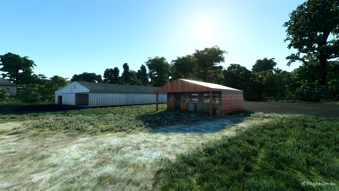
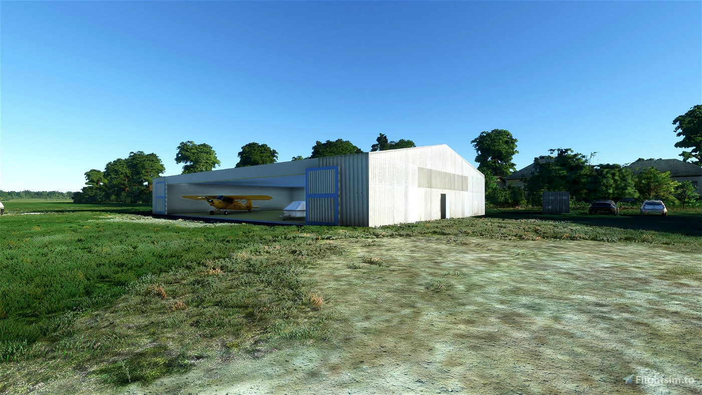
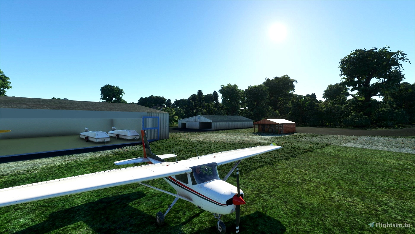
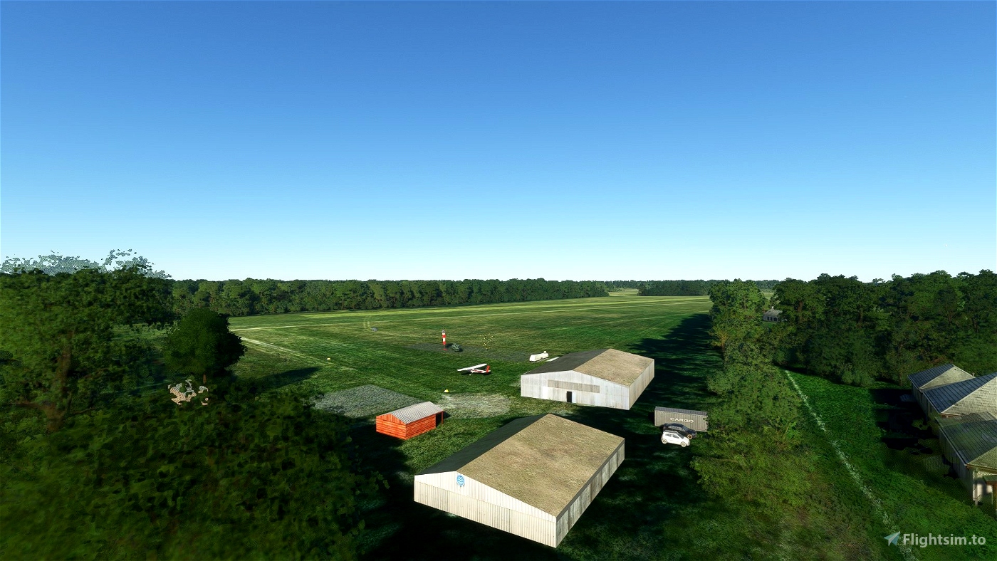
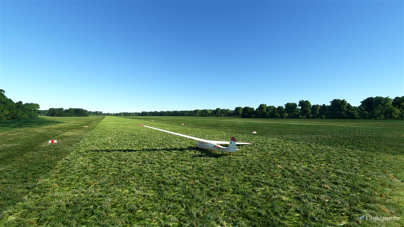
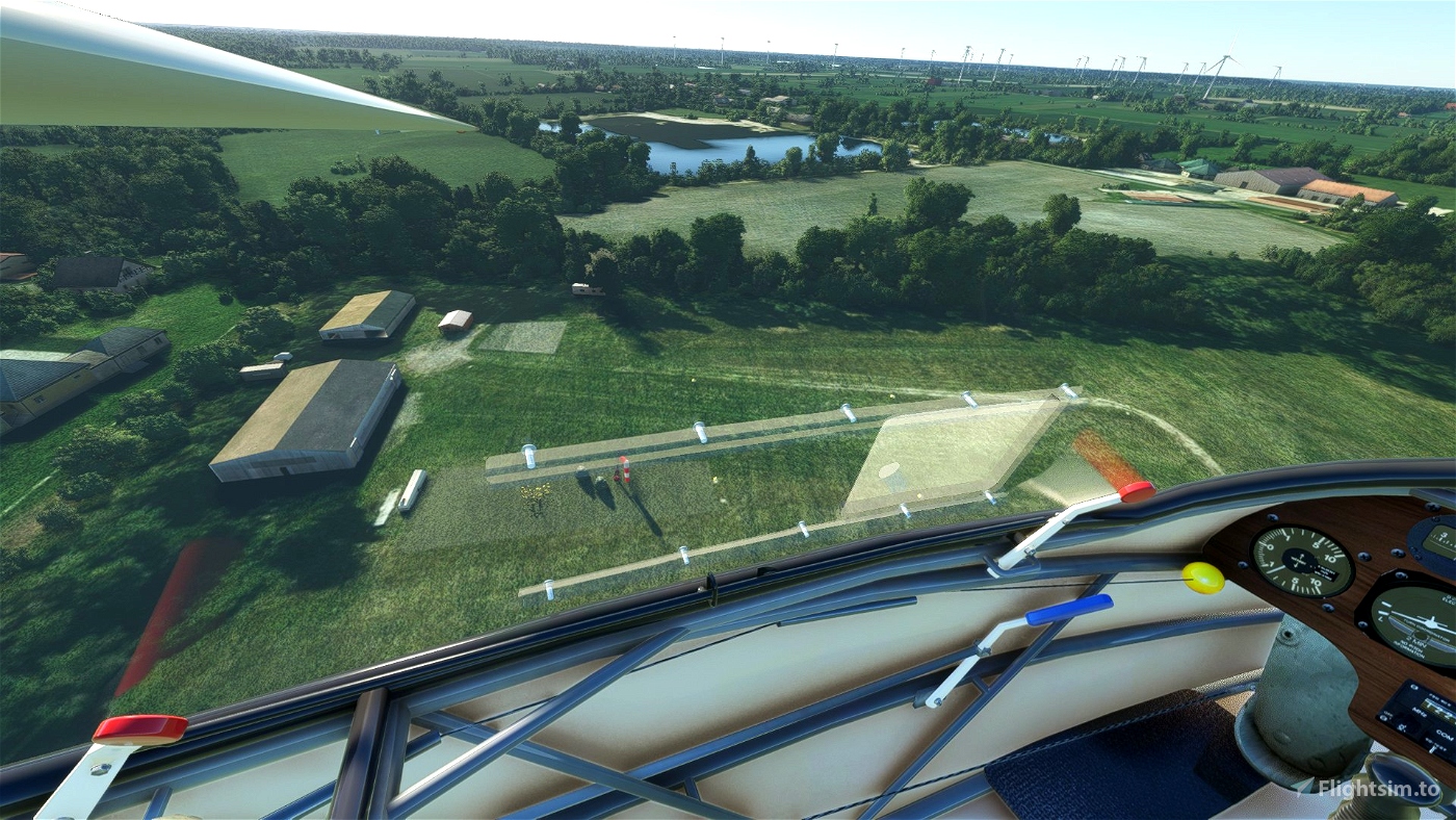
Das Segelfluggelände Aurich-Brockzetel liegt zentral innerhalb Ostfrieslands im Auricher Stadtteil Brockzetel. Es verfügt über eine Graspiste und einen Hangar, in dem die Segelflugzeuge und der Motorsegler des Luftsportvereins untergebracht werden. Die Segelflugzeuge werden mit einer Seilwinde hochgezogen.
Der Flugplatz liegt sehr versteckt in einem Bundeswehr Übungsplatz und sehr nahe an einer Standort Schießanlage.
Im Simulator wird der Flugplatz EDYA Brockztel Airfield Wiesmoor genannt, was aber nicht ganz korrekt ist.
Ggf. mache ich noch ein Ticket bei MS auf um das ändern zu lassen.
Flugplatz Aurich-Brockzetel
ICAO-Code: ETJA
Höhe über MSL 8 m (26 ft)
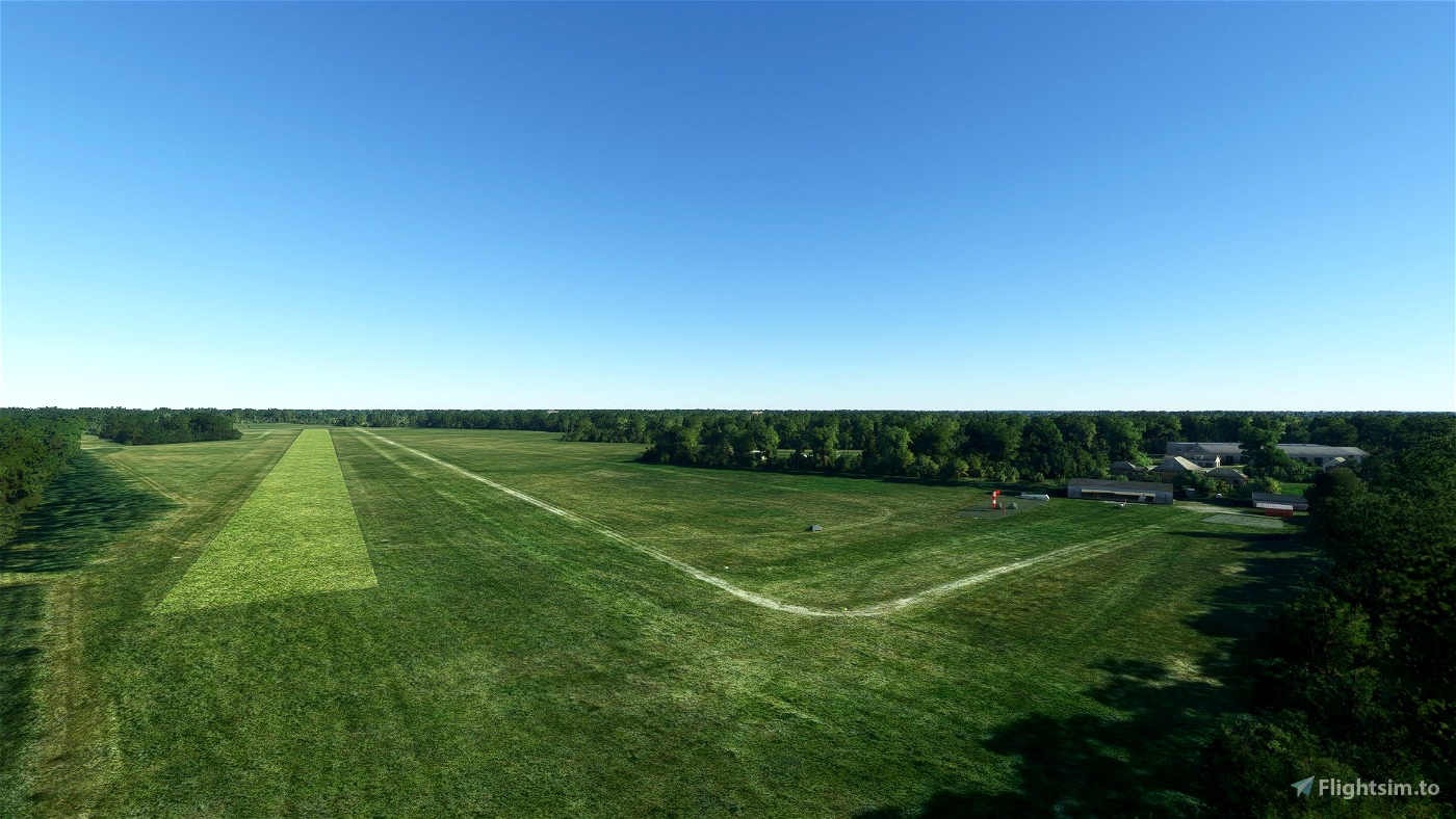
Start- und Landebahn
11/29 1100 m × 100 m Gras
Diese ist meine zweite Scenery, die sich noch in einem sehr frühen Version befindet.
Updates werden folgen....
Eine kleine Spende wäre nett ;-)
Inhalt:
- Gebäude basierend auf "vor Ort" Fotos
- einige große Häuser in dem Gebiet entfernt
Viel Spass damit
The glider airfield Aurich-Brockzetel is centrally located within East Frisia in the Aurich district of Brockzetel. It has a grass runway and a hangar where the gliders and the motor glider of the air sports club are housed. The gliders are hoisted by a winch.
The airfield is very hidden in a Bundeswehr training area and very close to a location shooting range.
In the Simulator the airfield is called EDYA Brockztel Airfield , Wiesmoor, which is not quite correct.
Maybe I will make another ticket at MS to have this changed.
Airfield Aurich-Brockzetel
ICAO-Code: ETJA
Height above MSL 8 m (26 ft)
Runway
11/29 1100 m × 100 m grass
This is my second Scenery which is still in a very early stage.
Updates will follow....
A small donation would be nice ;-)
Content:
- buildings based on "on site" photos
- removed some big houses in the area
Have fun with it
