V4: IMPORTANT! If you installed an earlier version of this airstrip, you must delete the old airport-kdar-darwin folder from your Community folder. Microsoft is now using the fictional ICAO code KDAR for one of its own airports, so the ICAO of Darwin has been changed to a new fictional code, CA142.
---
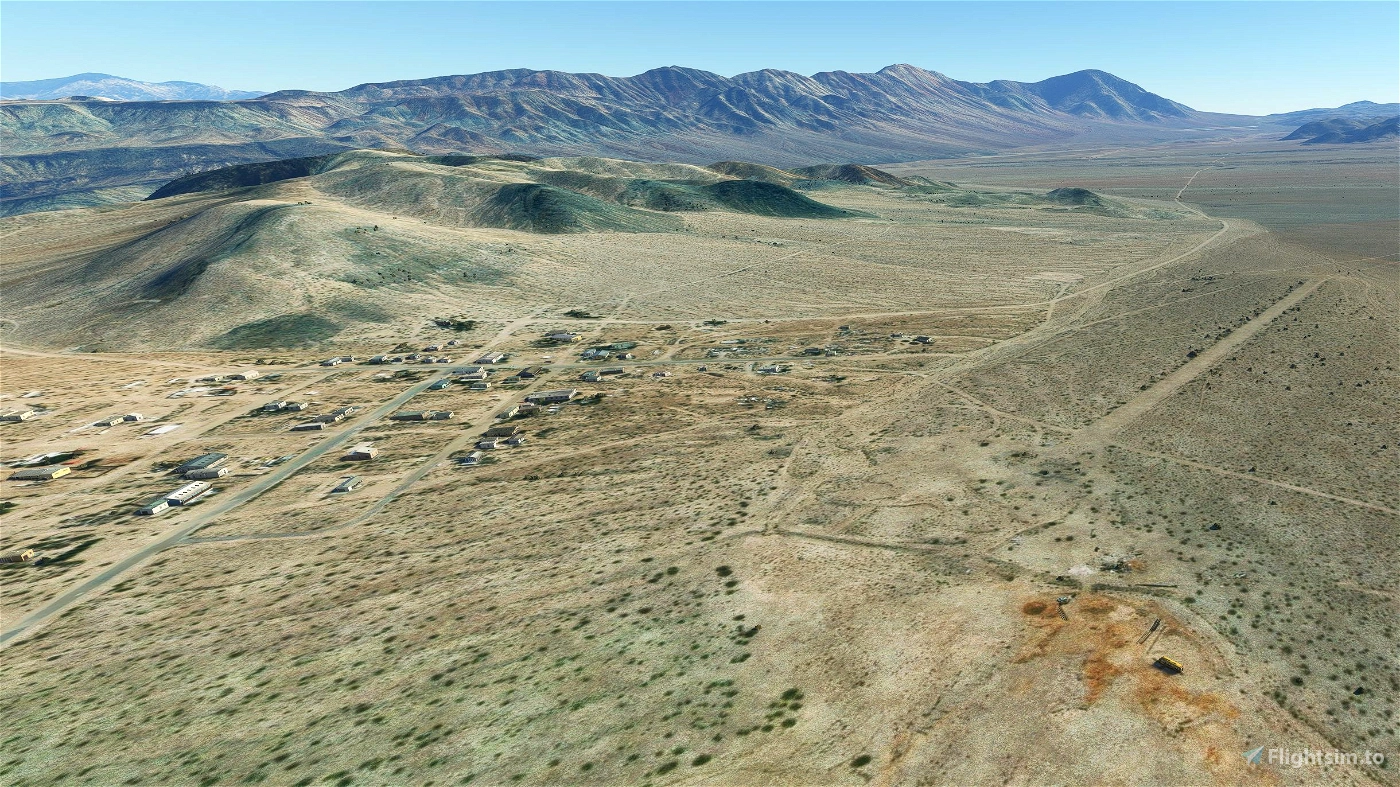
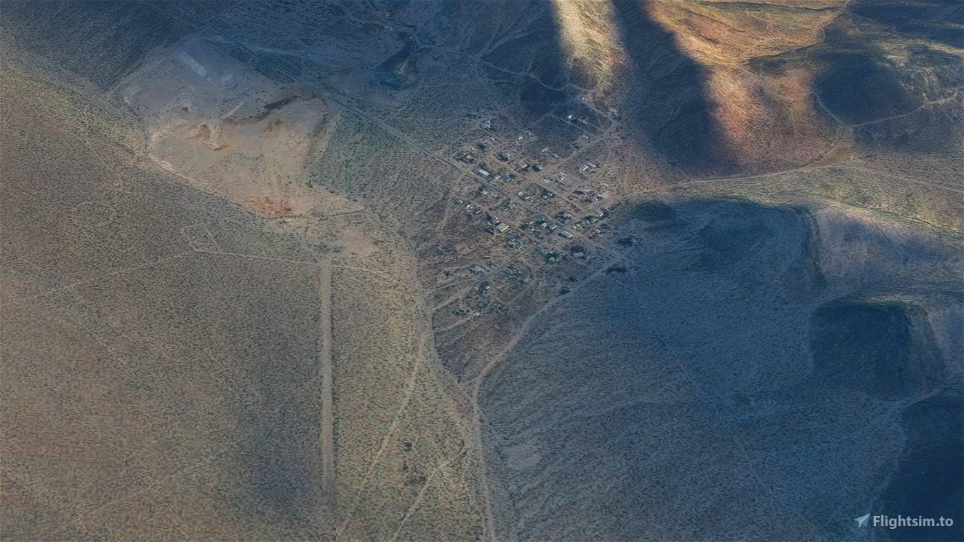
Darwin is a small mining community, population 45 in 2010, that’s about eight miles from the west border of Death Valley National Park in California. It’s halfway (40 miles) between the highest point in the continental US (Mt. Whitney, 14,496 feet) and the lowest point (Badwater, Death Valley, 282 feet below sea level and the second hottest place on earth.) Darwin is at 4750 feet elevation, so it’s not as hot as Death Valley, but still reaches 117 in the summer. Thanks to the altitude, it can also see snow in the winter.
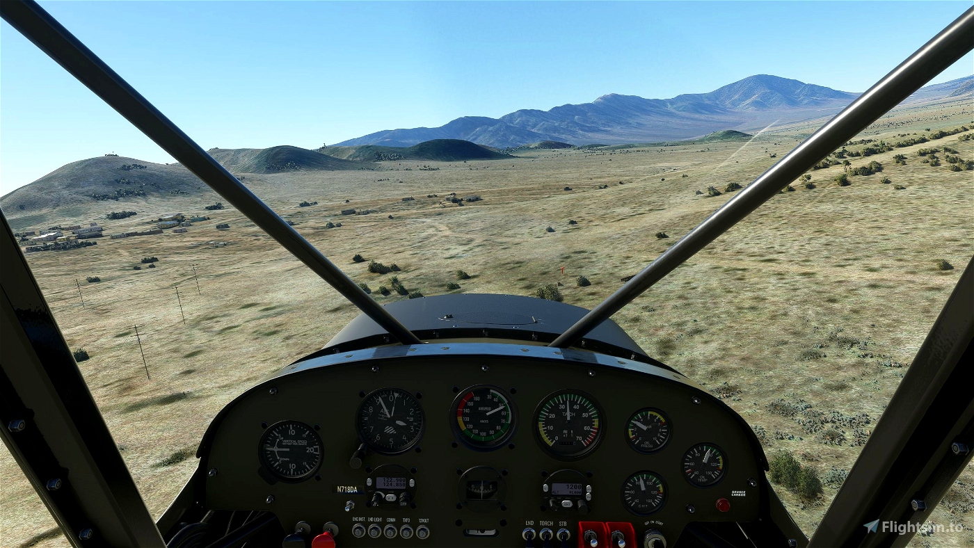
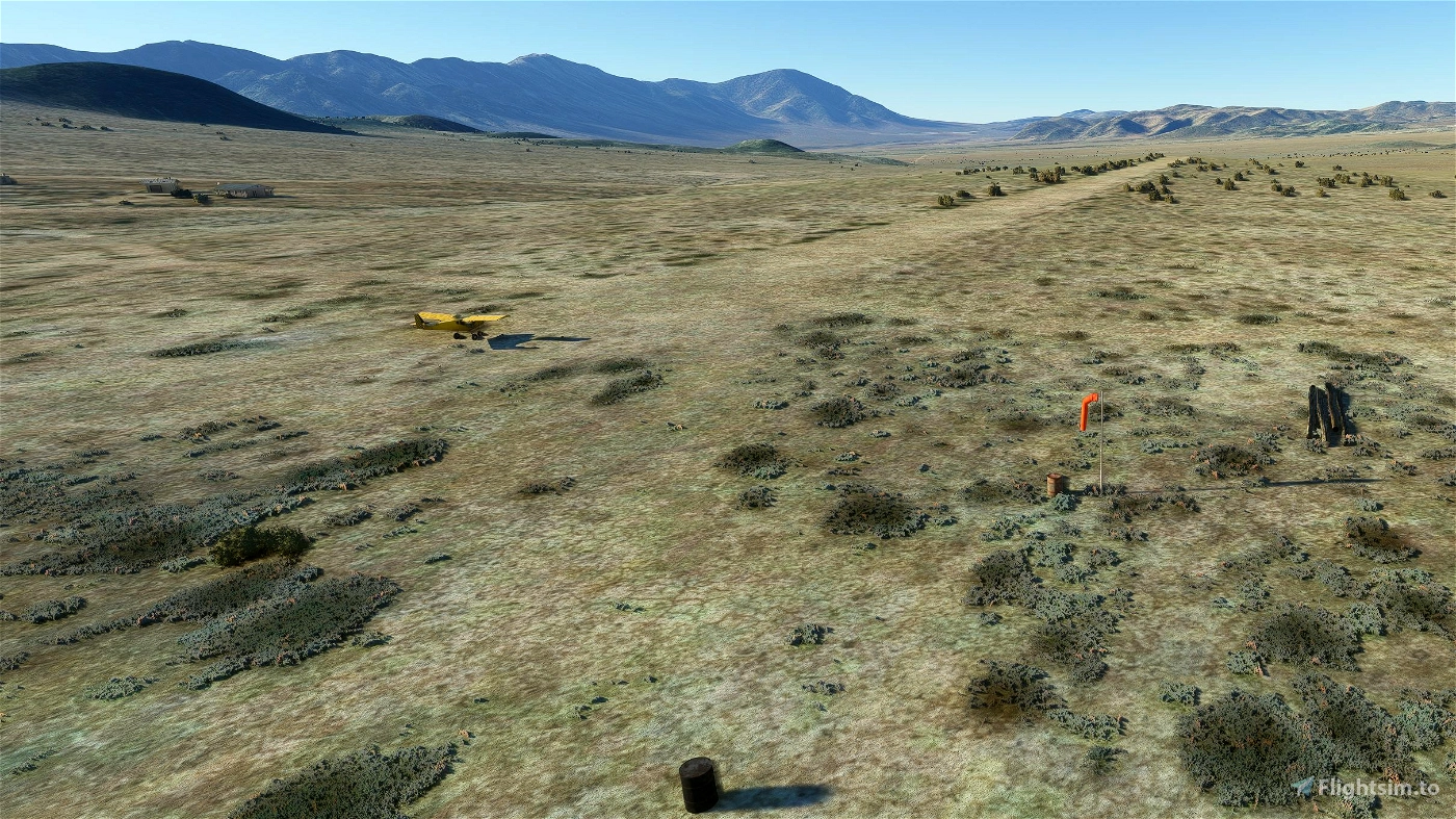
Darwin has a small, dirt-and-gravel strip on Bureau of Land Management property. It’s 2,500 feet long and 75 feet wide. There are no services – in fact, the nearest gas station for a car is over 40 miles away. Even the windsock isn’t working in real life – the pole and mount are still there, but the sock itself has deteriorated. I’ve taken the liberty of installing a new sock for visitors to our virtual Darwin. (You can find a couple of photos at shortfield.com)
I was inspired to create this airport after seeing this video linked on eneh075’s excellent Chicken Strip airport, showing a plane flying from the Chicken Strip to Darwin:
Landing at the Chicken Strip and Darwin
Darwin airport wasn’t included in the default MSFS airports, but the dirt runway is clear as day in the game’s satellite imagery, and the poles on the approach in the video looked like a fun challenge for the landing pattern. I’ve placed the poles, windsock, barrels, etc. as accurately as possible using the few images I could find, but there’s some artistic liberty taken to flesh out the surroundings a bit.
The real Darwin airstrip has no ICAO code, so I’ve used the fictional code CA142 as it’s not used in the simulation nor in real life.
You’ll need the following libraries to see all of the additions:
Be sure to check out eneh075’s superb Chicken Strip, Stovepipe Wells, and Furnace Creek airports if you’re flying in the Death Valley area.
Also check out my other airport, WA17 Majerle STOLport. It’s a grass farm runway just outside of Duvall, Washington, a challenging runway for short takeoffs and landings, and a great base to explore the Snoqualmie Valley a half-hour east of Seattle.
This airport is being uploaded exclusively to Flightsim.to. Please do not repost it or include it in any collections without permission.
Hope you enjoy flying in this beautiful area!


Thanks.
2 years ago
fStopper